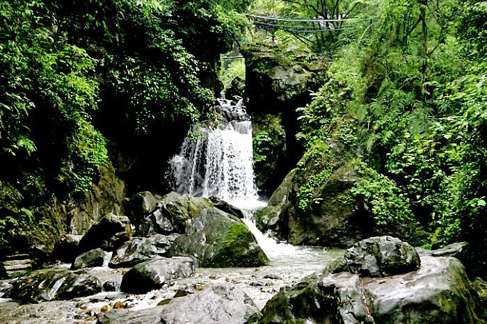
Geographic and Geomorphic Conditions
Mt. Emei sits at the southwest of the Sichuan Basin, 7 km west of Emeishan City and 37 km east of Leshan City. The scenic area covers 154 km2, and the peak, Wanfo Summit, is 3099 meters above the sea level. The Golden Summit (3079.3 meters above the sea level), where Huazang Temple, the holy site of Buddhism locates, is the highest of all scenic spots in Mt. Emei and also the highest in eastern mainland China.
Mt. Emei Scenic Area covers 154 km2, consisting of Mt. Da’e, Mt. Er’e, Mt. San’e and Mt. Si’e. Mt. Da’e, which is generally referred to as Mt. Emei, is the main mountain.
The Yanshan Movement happened in the late Mesozoic of China’s geologic history has formed the basics of Mt.Emei’s geological structure, while the mass movement in Himalaya and the following uplift of Qinghai-Tibet Plateau created Mt. Emei. Due to the large effusion of basalt in the Paleozoic Era, the lower rock stratum has been protected so as to maintain its height. In addition, the strong carving force of waters inside the mountain has given birth to a landform of “peaks towering amid the canyon” at a height of over 2000 meters. As strata vary, different landforms can be seen along the hiking routes. For example, in the layers of limestone there hide caves like the Jiulao Cave; when passing through granite and metamorphic rock areas, deep gorges can be seen; and on the peak the basalt present another scene of lava platforms.

